Re: postgresql 13.1: precision of spatial operations - Mailing list pgsql-general

From Вадим Самохин
Subject Re: postgresql 13.1: precision of spatial operations
Date
Msg-id CAGVmuwqrsRBcvT0H92GEqi7-Bjtu=Au6QmDeThJQu__B4pQ6OQ@mail.gmail.com
Whole thread Raw
In response to Re: postgresql 13.1: precision of spatial operations  (Ivan Panchenko <i.panchenko@postgrespro.ru>)
Responses Re: postgresql 13.1: precision of spatial operations  (Brad White <b55white@gmail.com>)
List pgsql-general
Thank you so much Ivan, it worked!

ср, 30 нояб. 2022 г. в 00:22, Ivan Panchenko <i.panchenko@postgrespro.ru>:

Hi Vadim,

On 29.11.2022 19:39, Вадим Самохин wrote:
Hi there,
I have polygons in a table and I'm fetching those that contain a specific point. The problem is that when I'm checking against a point which is really close (~5 meters) but is not contained within a polygon, it gets fetched nevertheless.

Steps to reproduce:
1.
create table zones (
    zone_id int,
    zone_polygon polygon,
    description text
);
create index zones__zone_polygon on zones using gist(zone_polygon poly_ops);

2. insert into zones (zone_polygon) values ('(37.6040241,55.7609641),(37.6240129,55.7519367),(37.6215344,55.7536616),(37.6172064,55.7559509),(37.6126178,55.7584013),(37.6088694,55.7622611),(37.60747,55.7633072),(37.6040241,55.7609641)');


4. Check whether a point is contained within a polygon: select count(1) from zones where zone_polygon @> '(37.617635,55.755814)'::polygon;
 count
-------
     1
(1 row)

5. But actually it's not (sorry, couldn't find a way to represent this point on the same map. Use street view, it's more convenient to see that): https://www.keene.edu/campus/maps/tool/?coordinates=37.617635%2C%2055.755814

First of all, you could reduce your large example to a smaller one:
select '(37.6220129,55.7519367),(37.6215344,55.7536616),(37.6172064,55.7559509),(37.6220129,55.7519367)'::polygon @> '(37.617900,55.755814)'::point;

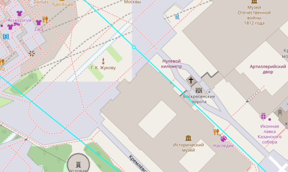
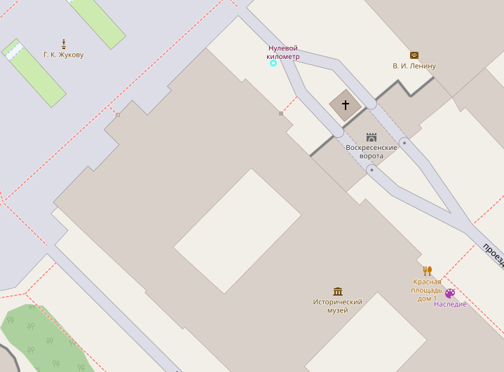
6. Just in case, here are the images.
The polygon:
image.png
And the point:
image.png

gnuplot could be used for easier visualization.

Am I doing anything wrong? Any idea how to fix that?

The problem is that the geometric comparison operations are "fuzzy", see here https://github.com/postgres/postgres/blob/master/src/include/utils/geo_decls.h
I can recommend you either multiply your coordinates by 10000 or rebuild Postgres with EPSILON = 0.

Regards,
Ivan

Attachment

pgsql-general by date:

Previous
From: Atul Kumar
Date:
Subject: postgres large database backup
Next
From: Michael Loftis
Date:
Subject: Re: postgres large database backup